Back to Lecture Thumbnails

pslui88

jchh
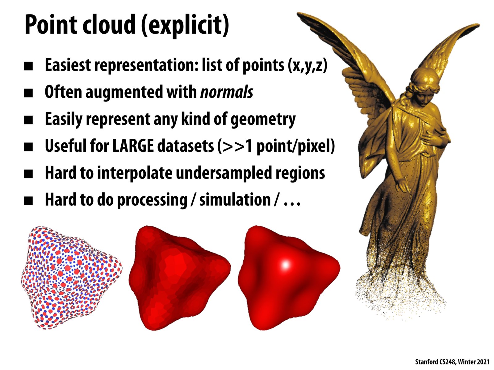
Certainly there is some space between points in a cloud right? I was wondering how they render these points in practice. Are all points expanded to be a sphere that intersects other spheres such that the surface becomes continuous? Or is another method used to do so?

kmsevers
How are point cloud representations created initially via surface simulation / what does the sampling process look like through which we determine our x, y, z coords for each of the points? What situations might this be applicable for as opposed to triangle mesh simulations? Also how can we transition from point clouds to triangle mesh representations?
Please log in to leave a comment.
When I heard point clouds, I immediately also thought about LIDAR data. In the self-driving industry, playback simulation of real drives from the past using data collected from them (including LIDAR) is a critical part of the development cycle. It's interesting to see the intersection.